Indian Himalayas Trekking Adventure
Indian Himalayas Trekking Adventure
As seen from the characterful hill-station of Darjeeling, the five-summited massif of Kangchenjunga (8586m) dominates the northern horizon. Kangchenjunga is the world’s third highest mountain and we make our approach to it by crossing the border into the Indian state and former independent kingdom of Sikkim and trekking up onto the crest of the Singalila Ridge, the prominent spur of high ground that forms the border between India and Nepal. Here, we find views that extend northwards to Kangchenjunga, but also across to the distant Nepalese peaks of Everest and Makalu. Our route continues through a mountain wilderness, taking us via high passes and a succession of lovely camping places to the valley of the Prek Chu. It’s from this point, above sacred Samity Lake, that we make our ascent to the viewpoint for Kangchenjunga’s huge south-east face. Providing a brilliant travel experience, as well as first-class trekking amongst fabulous mountain scenery, this is a simply superb trekking holiday in the Indian Himalaya.
IS THIS HOLIDAY FOR YOU?
At Great India Retreats, we provide access to some of the most wondrous nature encounters the world has to offer. This is a unique and exciting trekking holiday, which provides a taste of some of the finest trekking in the generally restricted territory of Sikkim. The conditions we will find on this trek range from easy trails, sometimes in forest, to narrow ridge paths and sometimes rather rougher tracks across glacial moraine and scree. We mostly use well-made and established trails throughout the trek, following the routes used by yak herders, to take their animals to high pastures for grazing in the monsoon months. The unspoiled Himalayan foothills trekking, variety of scenery, the lack of other trekkers and the pristine nature of the campsites make this Sikkim trek special. The pace of a trip such as this has to be governed by speed of our pack animals and porters. Some of the walking days are quite short as a result of this and for this reason we have graded the trip at the lower end of our blue range. However, trekking at altitude is always challenging and there are several longer days during the trek.


Why Great India Retreats?
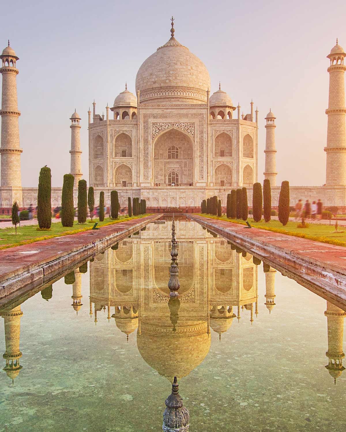
We have carefully put together this trip for those wanting to see the outstanding highlights of Royal Rajasthan in one perfect package. More than the typical Golden Triangle tour this area is rightly renowned for, we also include the rich culture and heritage of Jodhpur and Udaipur. With visits to the architectural wonders of Rajasthan and Agra; this holiday represents a trip of the lifetime.
Meeting and assistance on arrival and you will be transferred to your hotel.
After breakfast, we drive to the airport for our flight to Bagdogra.
Arriving in Bagdogra we are met by our trek leader and we climb aboard the bus for the 4-hour drive to Darjeeling (2500m). At first, we drive through flat rice fields and Assam tea plantations, before the road starts to climb into the foothills of the Himalaya. Darjeeling, built on top of a ridge, faces the Himalaya and is a popular tourist destination for Westerners and Bengalis alike. The richly forested land was originally acquired by the British in 1833, who introduced tea growing and promoted the settlement as a health resort. Arriving in the town, we check in at a comfortable hotel. Just 5 minutes walk from the hotel, there are views northwards to the Himalayan peaks.
After breakfast, we will arrange a sightseeing tour of some of the attractions around Darjeeling. We visit Ghoom Monastery, boasting one of the highest railway stations in the world, as well as a large gilded statue of the Matreya, or future Buddha. We can also visit the Himalayan Mountaineering Institute, which has a superb collection of memorabilia from the early days of Everest exploration. Also on the ‘not to be missed’ list is the Tibetan Refugee Centre where one can purchase handicrafts at reasonable prices. After lunch at our hotel, we can relax in the grounds of the hotel or take a stroll into the nearby and vibrant bazaar streets.
After an early breakfast, we set off by jeep for the 6-8 hour drive through tea estates and lush river valleys to Pelling (2250m). If the road conditions via Tukvar are not good, then we make a detour and drive to Pelling via Melli. Our accommodation is at the delightful family run Pemaling Hotel, which offers superb views of Kanchenjunga from the balcony. Whilst at Pelling, either this afternoon or in the morning, we will take the opportunity to visit Pemayangtse Monastery, Sikkim’s second oldest monastery, which is also the most prestigious centre of religious learning in Western Sikkim.Echo Point & Top Station: Head to Echo Point and Top Station. There, you will get panoramic views of the surrounding hills and tea plantations.
day 5 Drive to Uttarey, meet the crew and trek to a camping meadow on the ridge at Archaley (2880m).
After breakfast, we take a scenic 3 hour drive through the tea plantations to Uttarey (1960m). The road follows the River Ranjit, passing through a beautiful steep-sided valley en route. At Uttarey, we meet our trekking crew and check our permits at the control post. We then set off on our first afternoon of walking through the scattered Sherpa villages, climbing gradually on a good path through forest to a rest point called Thumki. The trail continues, climbing more steeply to a forest clearing at Uttarpani and then to a viewpoint a Ramite (literally meaning ‘something nice’) where we can see Kangchenjunga and Pandim. The views get better as we climb further to our camping place on the meadow at Archaley (2880m). Great views of Kangchenjunga and surrounding peaks.
Leaving camp, we descend to a small stream and then ascend through rhododendron forest and via a number of clearings, large and small, with mountain views. It is a pleasant walk on a good trail which leads up to Khardak Danda, another small clearing and a good viewpoint. From here, we continue to climb to some abandoned shepherd huts and then further to our campsite at Kalizar (3450m). The panorama here includes Jannu (7710m), Kangchenjunga and Pandim (6691m). Water is often scarce at this campsite, which means that the kitchen staff have to descend a long way to fill up their jerry-cans.
We get up early to walk up to the viewpoint at Phoktey Dara (3750m), around 45 minutes from camp. There are great views from here of the Nepal Himalaya – Mera Peak, Chamlang, Nuptse, Lhotse (8571m) and Makalu (8481m). On a clear day you can also see distant peaks in Bhutan. Below us we can also look down across steep valley-sides with scattered villages. Descending from our high point, we trek through rich rhododendron and pine forests to Chiwabhanjang where there is a police camp and where we have to show our permits. We then continue through more rhododendron forest, ascending easily to our camp at Major (3270m).
A slightly longer day today, starting out with a steep climb through the rhododendron forest for one and a half hours to a set of prayer flags at a high point of 3500 metres. Although steep, the trail is excellent, having been used for centuries by herders moving their yaks from one grazing ground to another across the ridge. Descending slightly, the path switches between Nepal and Sikkim with spectacular views down either side of the ridge. It is obvious why the trail clings to the ridge top, as there is simply no way down on either side, so dense is the rhododendron forest! In spring, this part of the walk is spectacularly colourful. A level and slightly wider section of the ridge, offers a perfect resting point for lunch, before another small climb and more airy ridge-top trekking leads to our camp just beyond a yak herders camp, known as Dhor (3720m). We camp a little below the ridge-top and have splendid views across a succession of ridges, as well as a autiful sunset panorama of the high peaks of Nepal, including Makalu and Everest.
Just above the camp there is a particularly fine viewpoint for Kangchenjunga and it is worth getting up early to watch the sun rise on the world’s 3rd highest mountain. The early morning light along the ridge and the spectacular views of the mountains ahead, make for a great start to the day. We follow the ridge for most of the morning on a good path which once again switches from side to side along the ridge with many short ascents and descents and very little flat walking! The highpoint of the day’s trekking is at a collection of prayer flags at 3920 metres, which is reached around mid-morning. After lunch, the trail stays high up, as we continue to our camp at Paharay Megu (3900m) which is one of a series of high grazing areas used during the monsoon.
Leaving our camp at Paharay Megu, we trek by way of a single hut (used as a shelter by pilgrims) and then climb steadily, staying on the west side of the ridge. The terrain becomes more open and the scale of the mountain scenery much grander as we follow a wide valley, turning east, in the direction of a large waterfall and a break in the ridge which takes us to a lunch stop at the pilgrimage site beside the lake of Lam Pokahri which is surrounded by prayer flags and by hundreds of large flat stones that have been turned on their ends by pilgrims as a mark of respect for the gods – an inspiring place. After lunch, we our route skirts the lake and heads towards a quite obvious pass in the distance, marked by 4 cairns. A stweep zig-zag path takes us up to the Kangla (4460m). It is quite atmospheric, walking alongside the yaks and yak men with the sound of jingling yak bells and the whistles from the yak men, urging on their charges. After short celebrations (the next pass is slightly higher) we drop down and then contour across the hillside for a further 30 minutes to reach the Danphebir Pass (4500m) marked by hundreds of prayer flags. The views to the north are once again stunning and we relax for a while to take in the magnificent scenery. Camp is a short distance beyond the pass beside the twin lakes of Jumlay Pokhari (4450m). This excellent campsite offers spectacular sunset and sunrise views and close up views of the mountains.
An early wake-up for the sunrise is an option today. After breakfast, the walk down to the valley floor is most enjoyable, following a good trail across the open slopes at first and then down through pine and juniper forest to Gomothang by the river and then on an undulating trail for an hour or so to a good place for lunch. It’s just a short walk after lunch with many ups and downs to Yangseb (3950m) where we camp beside the stream. Depending on the weather conditions, today, we might choose to continue directly to camp for lunch.
Contouring across the hillside, we can now look across to Dzongri, a vast grazing ground on the main trekking route to Kangchenjunga and our destination in 2 days time. We continue contouring across the hillside, climbing at times, until we cross a small river, beyond which a final climb leads to the Kokling Pass( 4260m) adorned by prayer flags and with wonderful views looking back across our route of the last 2 days. A short distance below the pass, the trail climbs steeply once again up the hillside for an hour and then turns a corner to reveal a spectacular view across a wide ridge, to Kabru and Pandim. We now feel that we are getting really close to the big mountains as the landscape opens up in front of us. We camp in a clearing known as Panding (4275m).
We take a direct descent today to the river, the Rathong Chu, which takes a good part of the morning, crossing the stream, we climb easily to a low pass, beyond which we reach the expansive meadows of Chaurikhang (4120m) and then Dzongri (3990m) where we set up camp near a shepherd’s hut in a natural bowl on the ridge. The peaks of Pandim, Narsingh and Joponu now appear to be distinctly closer. A short walk above Dzongri is a superb viewpoint for sunset and sunrise on Kangchenjunga, well worth the effort for an early evening stroll. For the best approach to the viewpoint, follow the trail up the ridge, where the viewpoint is easily visible due to the large number of prayer flags. As well as Kangchenjunga, there are superb views of the neighbouring peaks, including Rathong (6683m), Kokthang, Kabru Dome and Forked Peak.
After 9 days of trekking, this is an opportune moment to take a break and Dzongri is a great place to spend a day with the chance to make early and late visits to the prayer flagged viewpoint for the sunrise and sunset views. This day can also be used as a day of contingency in case we have experienced delays earlier in the trek. We spend a second night at the camp at Dzongri.
From Dzongri, we follow the original Kangchenjunga trek to the Goecha La. We are likely to encounter more trekkers from this point on. Today’s walk starts with a short climb to a ridge, which affords open views across Sikkim. We follow this scenic ridge for about 5 kilometres, before descending a steep spur to the banks of the glacial Prek Chu. A short stretch of boulder hopping and then we cross the stream to begin the climb to Thangshing, a large open area of pasture. The southern Ridge of Kangchenjunga and the moraines of the Oglathang Glacier are visible directly ahead and there are close-up views of Pandim. We have lunch at Thangsing and continue for another 2 hours on an easy trail in a wide open valley with Kanchenjunga looming straight ahead. We set up camp at Lamuney (4170m).
After an early start, we follow a path beneath the west side of Pandim, through dwarf azaleas and rhododendron to the first of the terminal moraines of the Oglathang Glacier. We climb to the crest of a moraine ridge and find ourselves on the shores of the lovely and sacred Samity Lake. Ringed by prayer flags and reflecting a number of snow-capped peaks, including Pandim, Samity Lake is a beautiful place. It was formerly possible to camp here, but environmental concerns have led the Sikkimese Authorities to ban this practice. The track to the Goecha La skirts the lake, before ascending a series of moraine ridges on the eastern edge of the Oglathang Glacier to the viewpoint for Kanchenjunga, which we should reach in approximately an hour and a half from the lake. Rising more than 4000 metres above the Talung Glacier, at a distance of only 8 kilometres (5 miles) from our viewpoint, is the stunning eastern wall of Kangchenjunga, which includes the five principal summits of the massif and also the very impressive Kabru and Rathong peaks. Due to conservation efforts to preserve the abode of the snow leopards that inhabit this area, we are not allowed to go further than this viewpoint. Having had our fill of the spectacular panorama, we return to Samity Lake and continue down-valley to Thangsing (3930m), where we camp for the night.
Descending the valley from Thangsing, we take a direct route, missing out Dzongri, following a lower trail through dense rhododendron forest. After a long descent (almost 1500 metres), we set up our camp near the small abandoned Tibetan refugee village of Tsokha. The Sikkim Forest Department have rehabilitated the Tibetan refugees that lived here to other parts of Sikkim. It is a pleasant change to be camping in warmer conditions tonight. From our camp, we look out on ridge after ridge of temperate forest and to the river far below. There is the opportunity for you to try the local millet ‘beer’ (hereabouts called ‘thumba’) which is available at the caretaker’s hut. This is served in drinking vessels made out of bamboo.
More downhill from our camp, all the way to the Prek Chu. Then the trail follows the narrow Rathong Valley, through thick, semi-tropical forest, contouring the east bank of the river with several undulations and tributary rivers to cross. We are now back in the warmer lower valley and reach Yuksom mid afternoon, where we check in at our hotel. The rest of the day is free and we can take tea in the hotel garden (with distant views of Mount Kabru) and reflect on an excellent trek. Yuksom is an important place in Sikkimese history as the first king of Sikkim was coronated here and his seat can still be seen. You can also a walk up to Dubde Monastery – the first monastery of Sikkim, reached by following a row of prayer flags. In the evening we will have a party to say goodbye to our yak men, porters and Sikkimese trek crew.
After a reasonably early breakfast, we have a 5-hour drive to Kalimpong, which was once an important market town, strategically located at a crossroads between Sikkim, Bhutan, Tibet and the plains of Bengal. One of the principal commercial enterprises of the town today, is the growing of flowers in extensive nurseries. We stay at a comfortable hotel on the outskirts of town and have the chance to explore the bazaar.
After breakfast at our hotel, we drive back to Bagdogra Airport, where we check in for our usually late afternoon flight to Delhi or Kolkata with a connection to your flight back home